
Introduction in Unveiling the Depths
Unveiling the Depths: Geology Technology is importance of geology technology cannot be overstated. The subsurface characteristics of a site, often hidden from plain view, play a crucial role in determining the success and longevity of infrastructure projects. In this blog, we delve into the realm of geology technology and its significance as a foundation for triumph in civil engineering endeavors.
- Ground Penetrating Radar (GPR): Peering into the Earth’s Depths
Ground Penetrating Radar (GPR) is a non-intrusive geophysical technique that utilizes radar pulses to image the subsurface. Civil engineers employ GPR to detect variations in soil composition, locate buried utilities, and assess the integrity of structures. This technology provides invaluable insights, enhancing the understanding of subsurface conditions before the commencement of construction. - Seismic Refraction and Reflection: Decoding Subsurface Structures
Seismic techniques, including refraction and reflection surveys, offer a glimpse into the geological layers beneath the Earth’s surface. By sending seismic waves and analyzing their reflections, civil engineers can determine soil density, identify potential faults, and assess the depth of bedrock. This information is crucial for designing foundations that can withstand seismic forces. - Borehole Logging: Probing Below the Surface
Borehole logging involves drilling into the Earth and analyzing core samples to understand soil and rock properties. This traditional yet indispensable geology technique aids in determining the soil’s strength, porosity, and moisture content. Civil engineers leverage borehole logging data for designing foundations, assessing slope stability, and mitigating geological hazards. - Remote Sensing: Geospatial Insights from Above
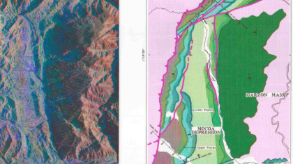
Remote sensing technologies, such as satellite imagery and aerial surveys, provide a broad-scale view of geological features. Civil engineers use these tools to analyze terrain characteristics, identify geological formations, and assess potential environmental impact. The integration of remote sensing data enhances the precision of geological mapping and supports informed decision-making in project planning. - Geographic Information Systems (GIS): Mapping Geological Data
GIS technology plays a pivotal role in managing and analyzing geological information. By integrating geology data with spatial analysis, civil engineers can create detailed maps, identify geological hazards, and plan infrastructure projects with a comprehensive understanding of the terrain. GIS facilitates the visualization and interpretation of complex geological data sets. - Geotechnical Instrumentation: Real-Time Monitoring
Geotechnical instrumentation involves deploying sensors in the ground to monitor changes in soil conditions and structural behavior. This real-time data is critical for assessing the impact of construction activities, ensuring the stability of slopes, and identifying potential issues that may arise during the project lifecycle. Continuous monitoring enables proactive responses to mitigate risks.
conclusion
Unveiling the Depths: Geology technology stands as an indispensable pillar in the realm of civil engineering, providing the essential insights needed to navigate the complexities beneath the Earth’s surface. From the pioneering days of borehole logging to the modern applications of GPR, seismic surveys, and GIS, these technologies collectively empower civil engineers to make informed decisions that ensure the resilience and success of infrastructure projects. As we forge ahead in the pursuit of sustainable and robust urban development, the marriage of geology and technology remains a cornerstone, laying the foundation for the structures that shape our world.